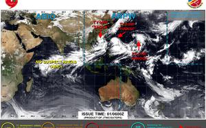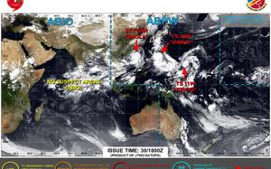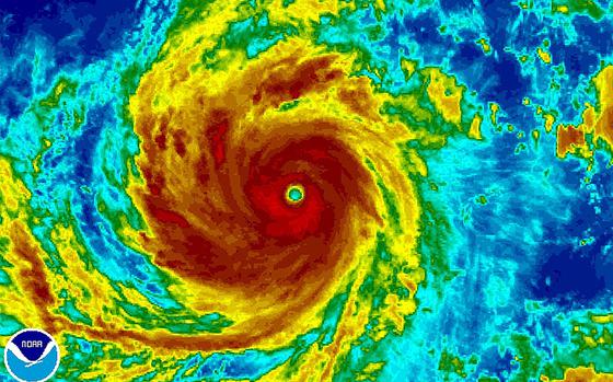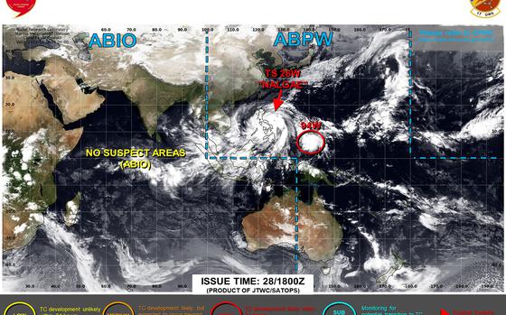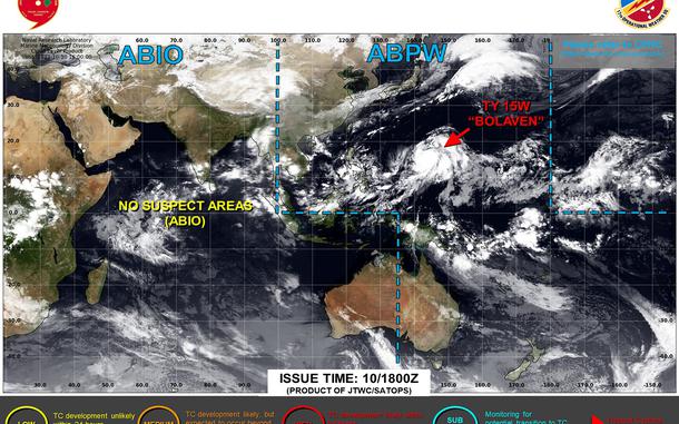
Bolaven mushrooms into fourth super typhoon of Pacific’s season. Guam resumes COR 4. All watches and warnings for the island canceled.
Bolaven mushrooms into fourth super typhoon of Pacific’s season. Guam resumes COR 4. All watches and warnings for the island canceled.
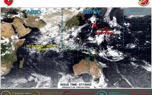
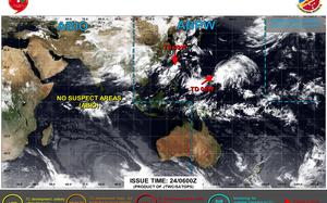
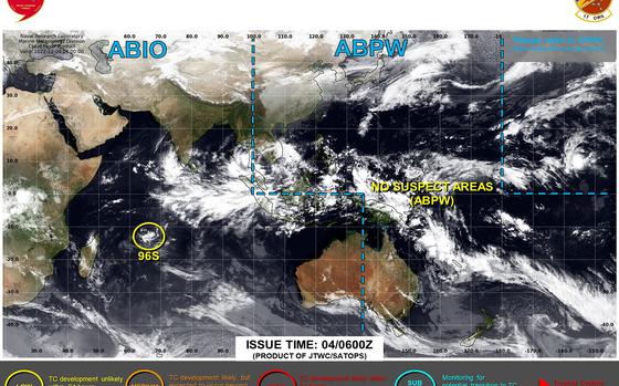
New tropical depression spawns southeast of Guam, could pass close to the island Tuesday evening as a Category 1-equivalent typhoon.
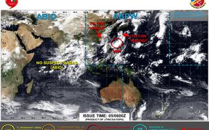
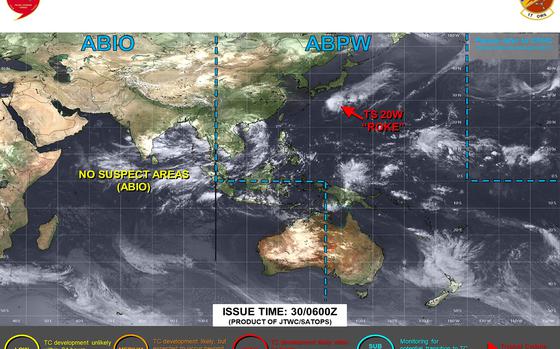
Koinu downgraded to a Category 2-equivalent typhoon; closest point of approach to Okinawa has come and gone.